What is AI site appraisal?
AI site appraisal uses planning, ownership, constraints and appraisal evidence to produce a structured first-pass land review. It helps teams review assumptions faster, but it still needs professional judgement.
3 min

AI site appraisal is the use of AI to turn a site boundary, title number, address or short description into a structured first-pass review of a land opportunity. It brings together planning, ownership, constraints, local-plan evidence and appraisal assumptions so a professional can see what matters. It should not replace a land director, planner, surveyor or valuer; its value is making the evidence and assumptions easier to inspect.
How This Works
A useful AI site appraisal starts with a clear site reference. That might be a title number, red-line boundary, address, landowner email, brochure or spreadsheet row. The system then gathers and organises the evidence around the site: planning history, policy position, land ownership, constraints, access, comparable permissions, infrastructure context and commercial assumptions.
The output should not be a black-box yes or no. It should show the sources used, the assumptions made, the confidence level and the items that require professional review. A land team should be able to challenge the working in the same way it would challenge a junior analyst’s appraisal note.
Worked Example
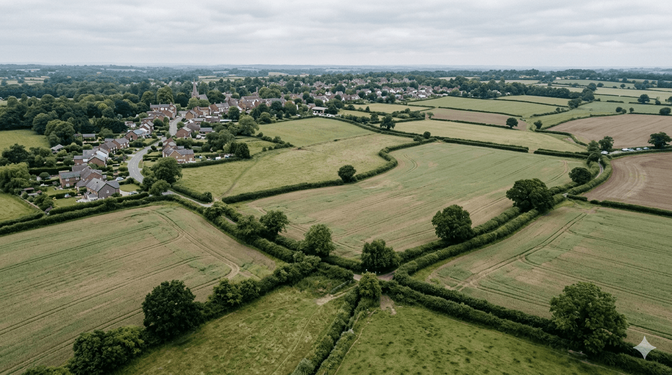
Illustrative example: a developer receives a short landowner email about a 6-acre edge-of-settlement site. The AI site appraisal identifies the local authority, checks the current development plan position, flags that the authority has recently published housing-supply evidence, notes a nearby permission, and extracts the registered owner from the available title information.
The first-pass output does not say “buy this site”. It says the previous planning risk may need to be reviewed, the ownership record needs checking, highways access is unresolved, and a planner should confirm whether the new evidence materially changes the site’s prospects.
Review Method
1. Confirm the site boundary or title reference. 2. Check the planning and policy sources used. 3. Compare constraints against the appraisal assumptions. 4. Identify missing evidence and professional-review points. 5. Decide whether the site should be rejected, watched or moved to a full appraisal.
Sources Used
• GOV.UK planning practice guidance. • National Planning Policy Framework. • Local planning authority development plan and evidence base. • HM Land Registry where ownership is relevant. • Local planning portal records and decision notices.
Limitations And Professional Review
AI can miss constraints, misread source material or overstate the importance of a policy change. Ownership, boundaries, highways, environmental constraints, valuation and planning balance require professional review. Treat AI site appraisal as a structured first pass, not a professional opinion.
Where Harold Land Fits

Article written by