Call for Sites Is Not a Filing Exercise: How to Build a Submission That Survives SHELAA
What a credible Call for Sites submission needs to show about suitability, availability, achievability and delivery.
5 min

A Call for Sites is an invitation to put land into the evidence-gathering process for a local plan. It is not an allocation, and it is not a planning application. But a thin submission can still cost a land team years if the authority cannot understand the site, its constraints or its realistic delivery route.
The failure is rarely dramatic. A boundary differs from the ownership plan. The form says 300 homes while the covering note says 250. “Available now” is left unsupported. The site enters the assessment with avoidable doubt attached to it.
The strongest submissions make the authority’s assessment easier. They give a clear boundary, a credible proposition and enough evidence to engage with suitability, availability and achievability.
What the council is trying to establish
National planning guidance says land availability assessments should consider whether sites are:
suitable for the proposed use;
available to come forward; and
achievable, including whether development is economically viable and likely to be delivered.
A Call for Sites submission should be built around those questions, even where the form itself looks basic. The exact form and evidence requirements vary by authority, so treat the pack below as a robust common core—not a universal list of mandatory documents.
Harborough District Council’s guidance, for example, asks for evidence of control and enough information to assess the site, while making clear that Call for Sites or SHELAA treatment does not itself determine allocation or permission.
The core submission pack
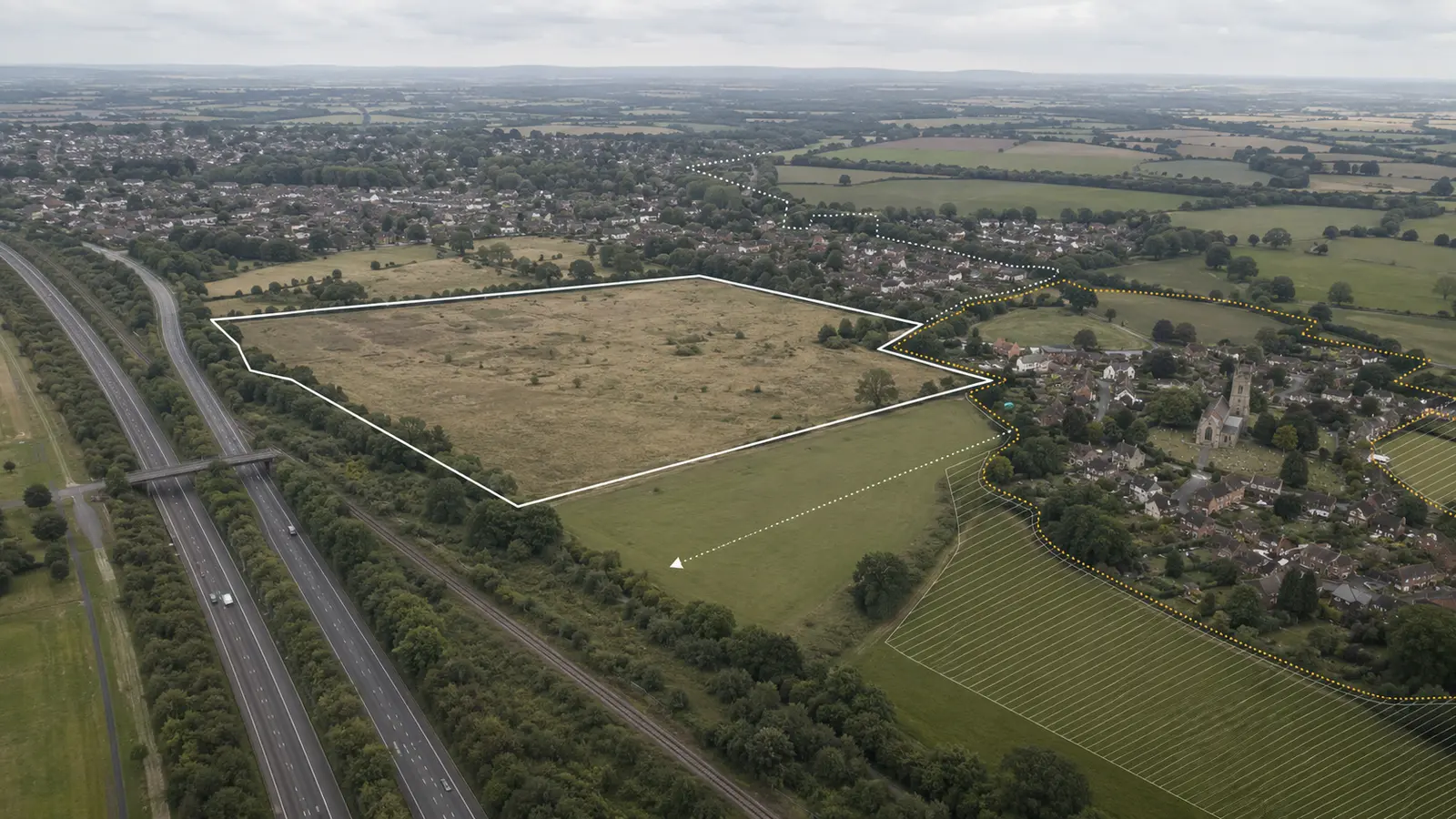
A precise site boundary
Supply a clean red-line plan on an appropriate base. Reconcile it with ownership, access and any land required for mitigation or infrastructure. An unexplained mismatch between the form, plan and title information undermines confidence immediately.
Ownership and control
State who owns the land, who is promoting it and the basis on which it is available. If control is incomplete, explain the route and the dependencies. Do not imply certainty the evidence does not support.
The development proposition
Give a realistic use, capacity range and broad form. Avoid false precision before technical work, but do not leave the authority guessing what is being promoted.
Policy and settlement relationship
Explain how the site relates to the settlement hierarchy, existing built form, services and strategic objectives. Identify the adopted and emerging policies that matter, including any allocation history.
Constraints and mitigation
Cover access, flood risk, heritage, ecology, landscape, Green Belt, agricultural land, utilities and other relevant constraints. Separate:
constraints already investigated;
constraints visible from published evidence;
work still required;
likely mitigation.
Delivery evidence
Provide a credible programme and identify infrastructure dependencies. If the site is described as available now, make sure the control, access and technical position support that statement.
Build a claim-evidence table
Before submitting, put each important claim beside its source.
Claim | Evidence | Status |
|---|---|---|
The site is available | Ownership/control document and promoter confirmation | Confirmed |
Safe access can be achieved | Highways note or initial access appraisal | Initial evidence |
Flood risk is manageable | Environment Agency mapping and drainage advice | Further work required |
The scheme can support the indicative capacity | Constraints plan and initial layout/capacity work | Provisional |
This catches the common failure where the narrative becomes more confident than the underlying evidence.
After submission
The work is not finished when the portal confirmation arrives.
Record:
submission date and reference;
exact documents submitted;
the local-plan stage and next expected milestone;
requests for further information;
officer feedback;
the site’s treatment in the published assessment;
consultation windows and examination dates;
the next owner and action.
If a team promotes sites across multiple LPAs, this follow-up is where spreadsheets begin to fail. Dates move, document names change and one authority publishes an assessment while another extends its evidence call.
The system should surface the next action without losing the submission history.
Common submission failures
The most avoidable failures are usually ordinary inconsistencies:
the red line includes land outside the stated control;
the capacity figure changes between the form and covering note;
the submission calls a constraint “minor” without evidence;
the delivery programme assumes technical work that has not started;
an old policy position is presented as current;
the contact and ownership information cannot be reconciled;
no one is assigned to respond when the authority asks for clarification.
Run a final reconciliation across the form, plan, technical notes and opportunity record. If two documents give different answers, resolve the difference or explain it before submission.
Where AI helps
A firm-specific system can assemble the current policy sources, reuse verified ownership and technical information, flag inconsistencies between the form and the site record, and create the first draft against the authority’s questions.
It should not invent capacity, suppress constraints or claim technical certainty. Every material statement should remain linked to its source and review status.
That is the standard Harold uses: faster preparation, visible evidence and a human planning judgement at the end.
Sources

Article written by